Seismology
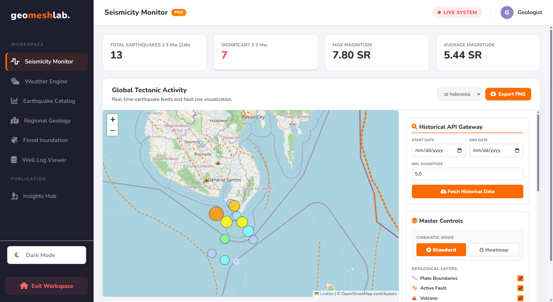
Seismicity Monitor
Real-time global earthquake warning system featuring ground shaking estimation (MMI), volcanic swarm detection, and chronological fault replay.
Explore 14 client-side geoscience engines built for tectonic monitoring, satellite spectral math, 3D terrain extrusion, and publication cartography.
Real-time global earthquake warning system featuring ground shaking estimation (MMI), volcanic swarm detection, and chronological fault replay.
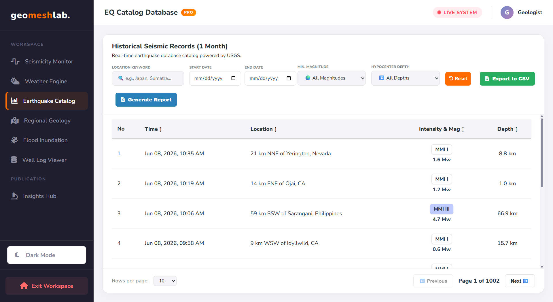
Query decades of historical seismic events by magnitude, depth, and coordinate bounds with instant pagination and automated PDF/CSV reporting.
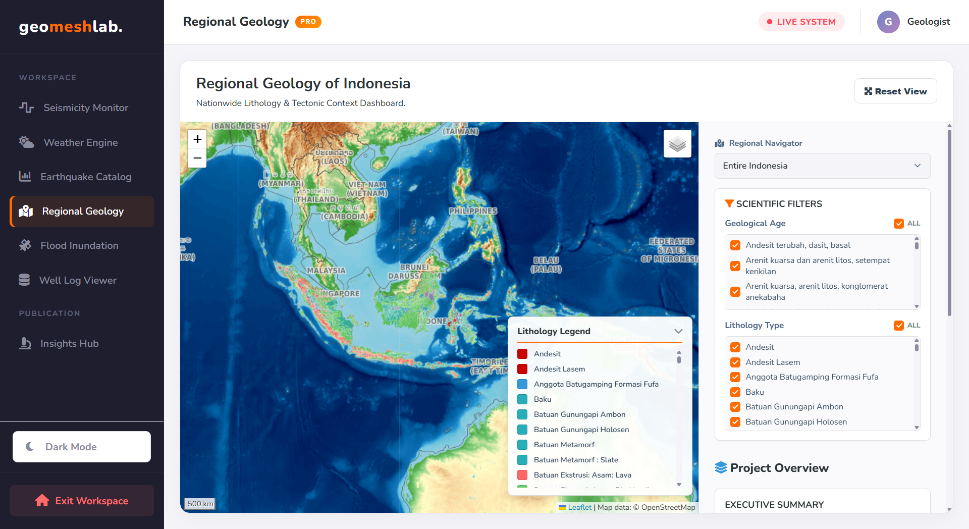
High-speed lithological formation mapping, active fault overlays, and client-side administrative boundary clipping across three tectonic regions.
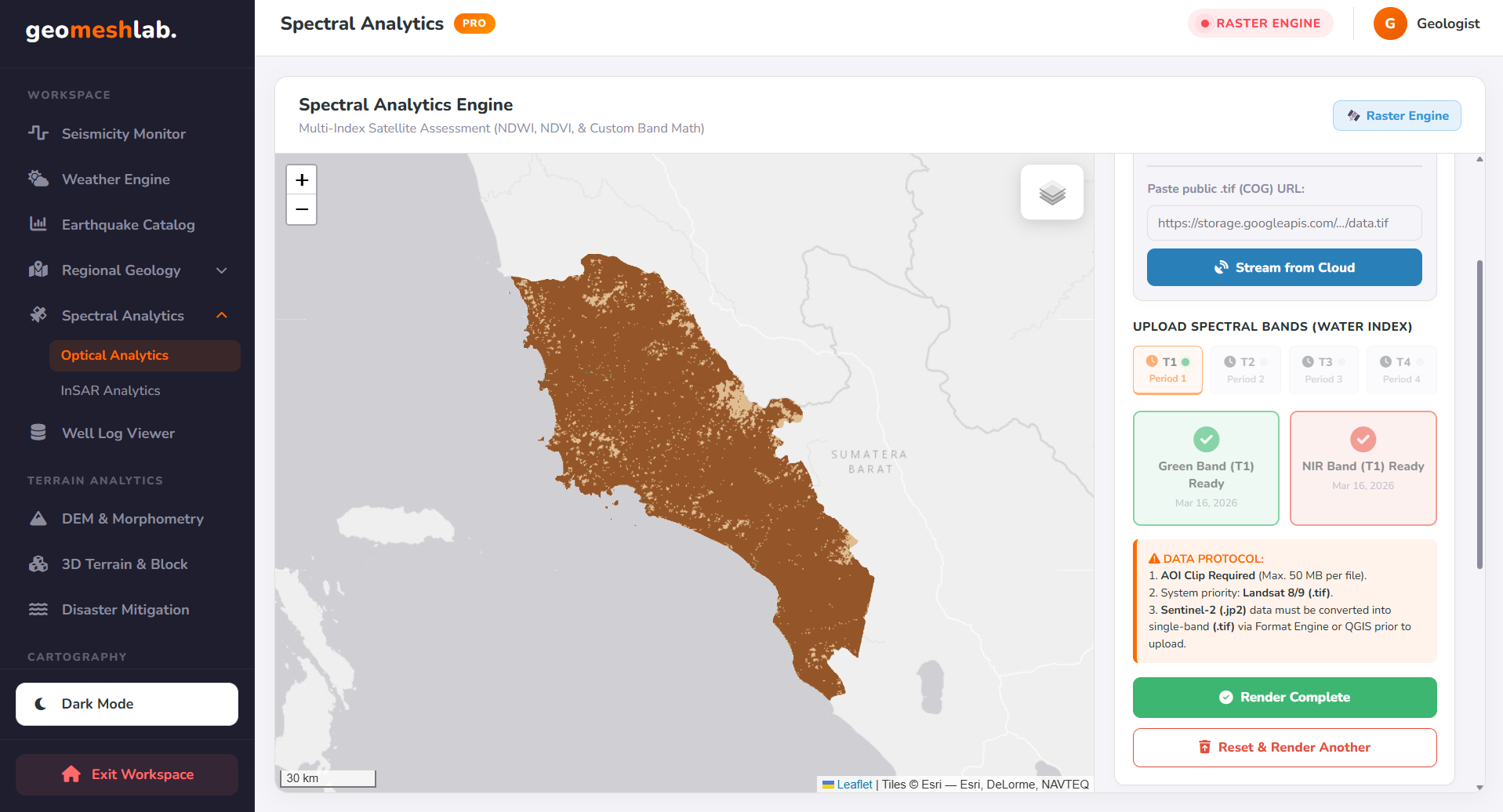
Multi-epoch satellite band calculator (T1–T4) for flood delineation, vegetation monitoring, custom spectral formulas, and split-screen swipe comparison.
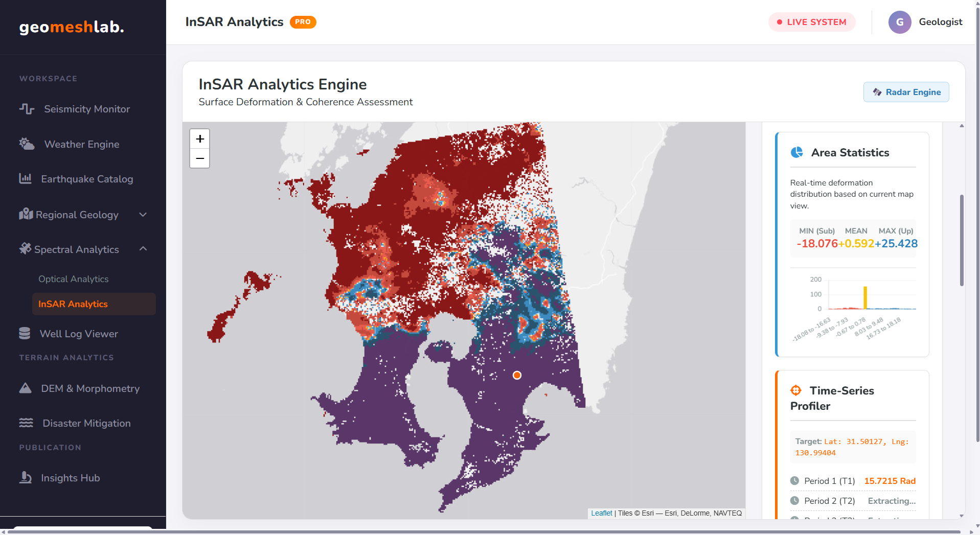
Evaluate volcanic inflation and urban land subsidence using unwrapped phase matrices, coherence filtering, area histograms, and pixel profiling.
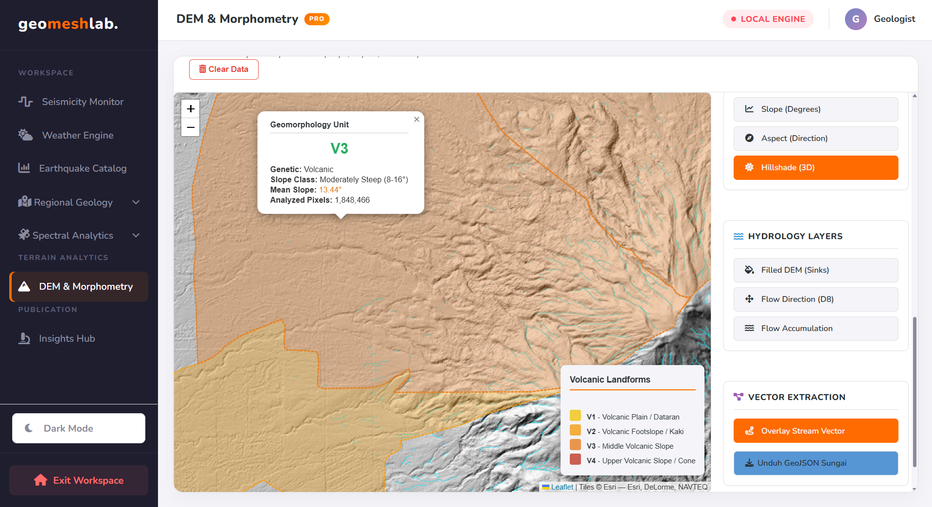
Extract slope, aspect, hillshade, Van Zuidam landforms, D8 streams, labeled contours, AOI clips, and 2D topographic profiles (A→B) from any DEM.
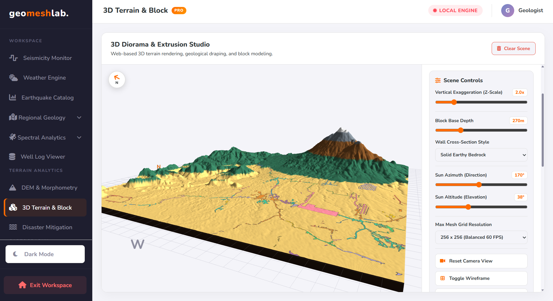
Transform 2D DEM rasters into interactive 3D block diagrams with stratified crust walls, vector geological draping, and binary .GLB export.
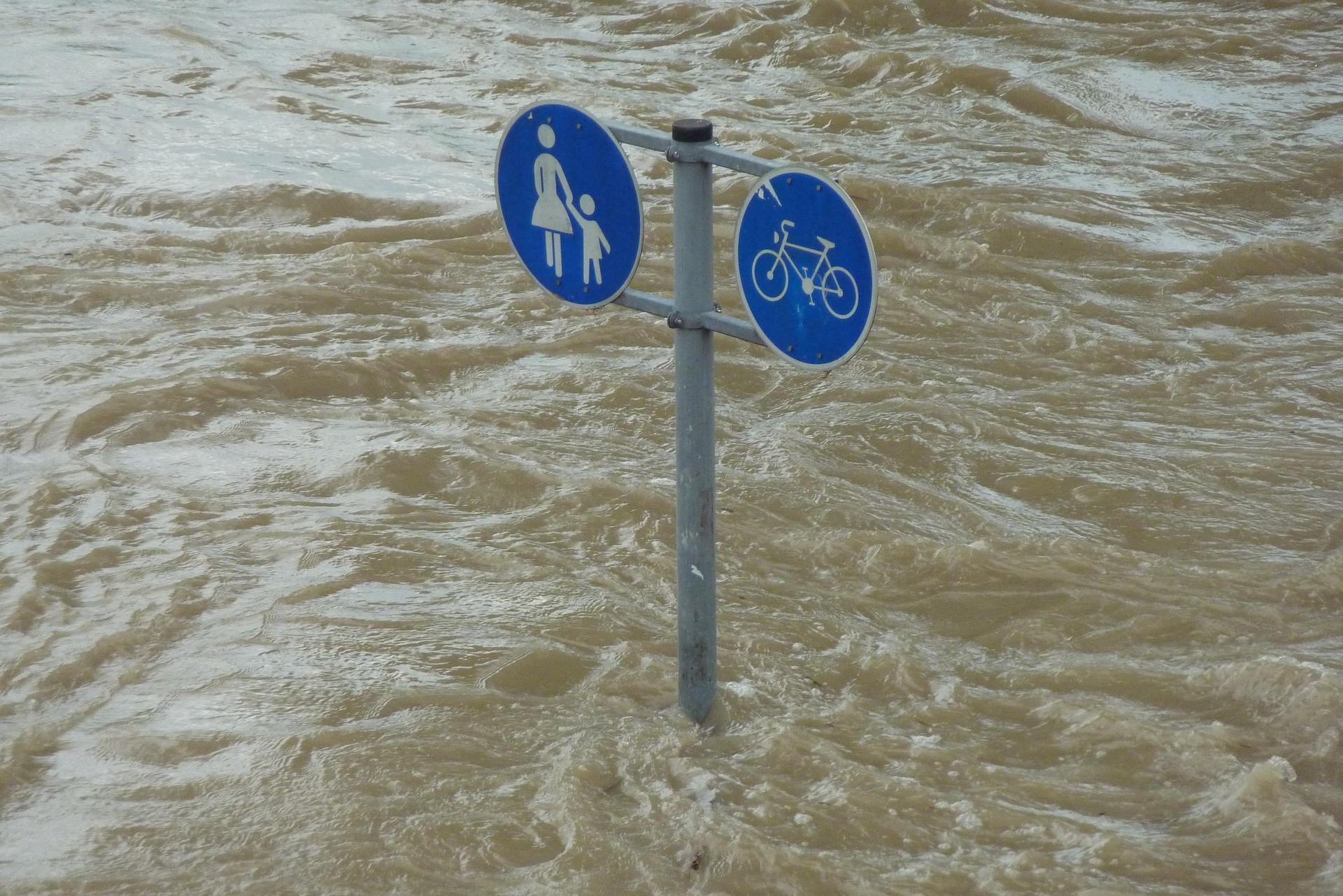
Intersect building footprints with river proximity buffers and DEM slope steepness to classify settlement vulnerability to floods and landslides.
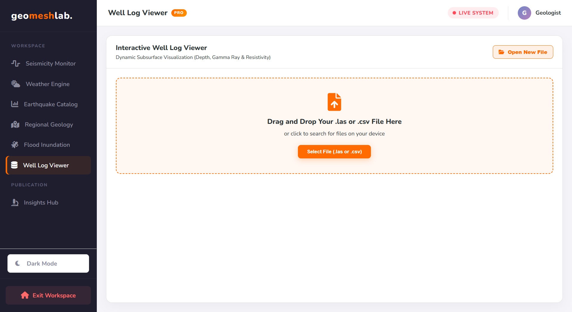
Subsurface dual-axis petrophysical curve analyzer for identifying shale baselines, clean sandstone intervals, and hydrocarbon pay zones.
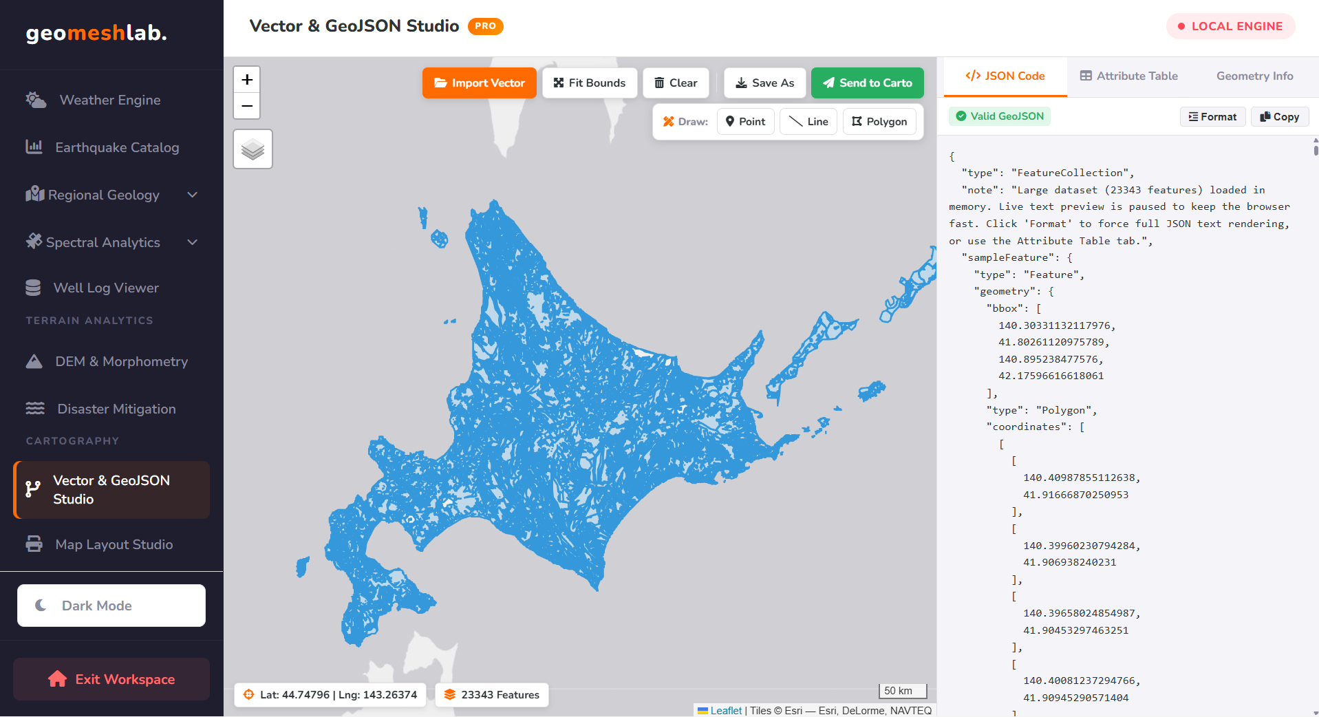
Split-screen spatial vector editor featuring interactive geometry drawing, inline attribute spreadsheet editing, and direct Carto Studio pipeline.
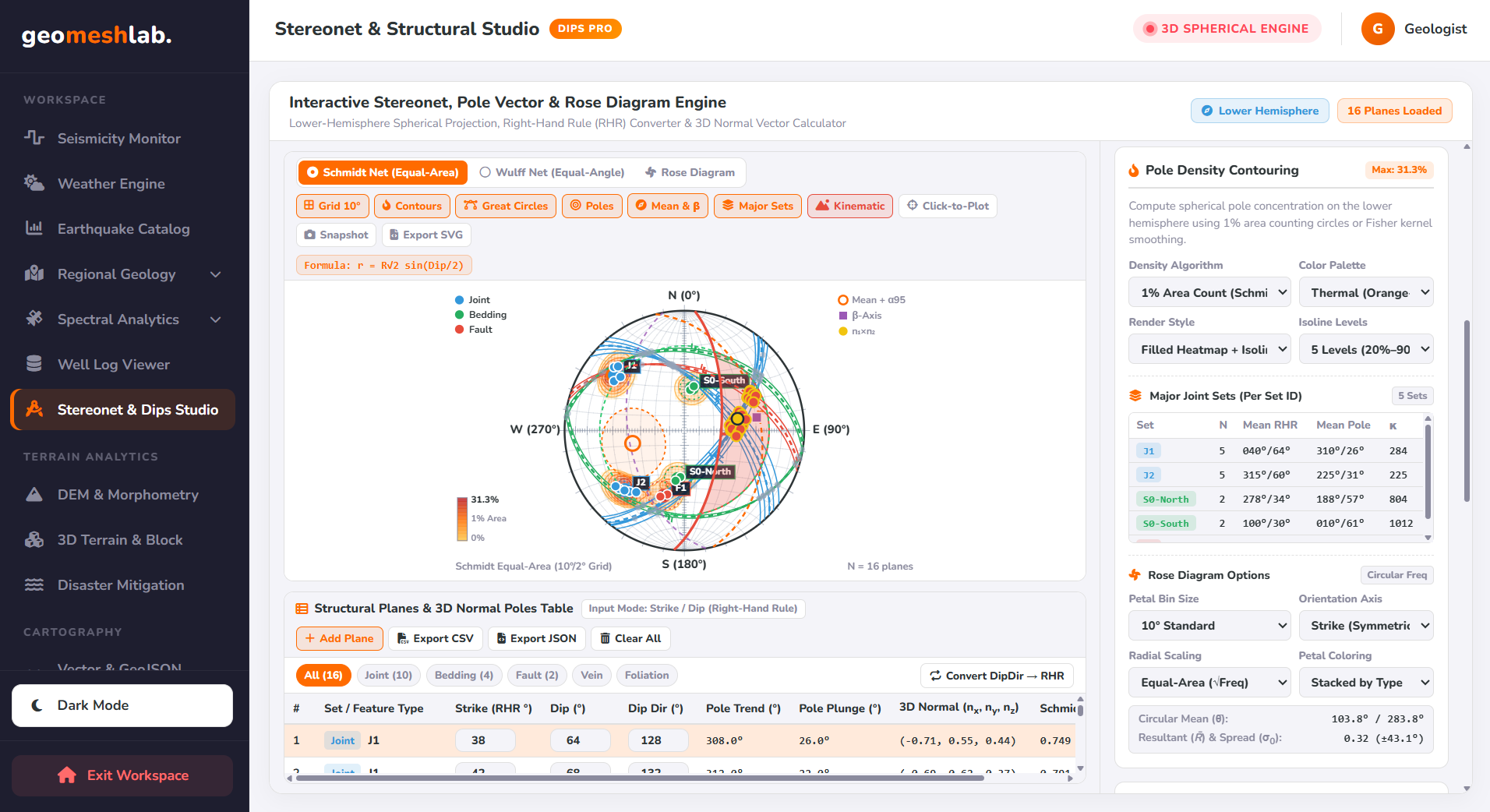
Lower-Hemisphere Spherical Projection, Right-Hand Rule (RHR) Converter & 3D Normal Vector Calculator.
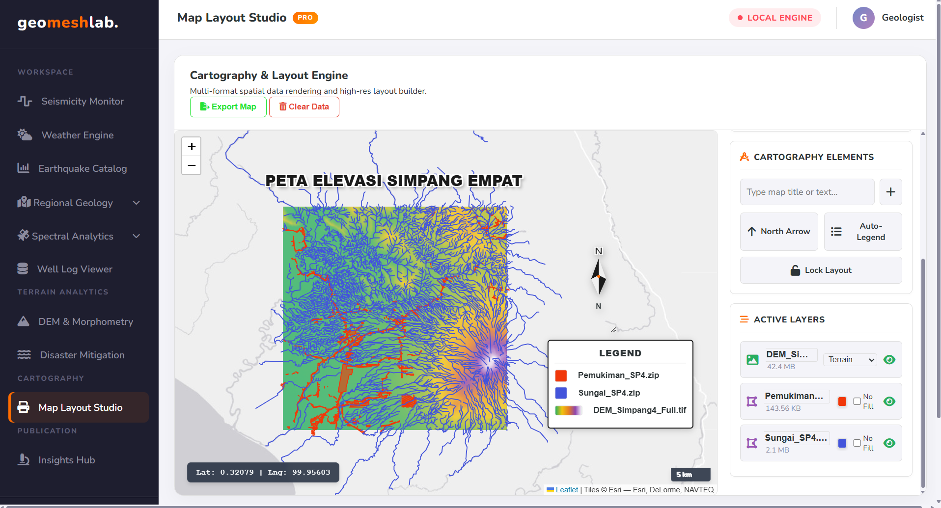
Compose multi-layer publication maps with automated Strike & Dip structural symbols, USGS lithology coloring, and 300 DPI print export.
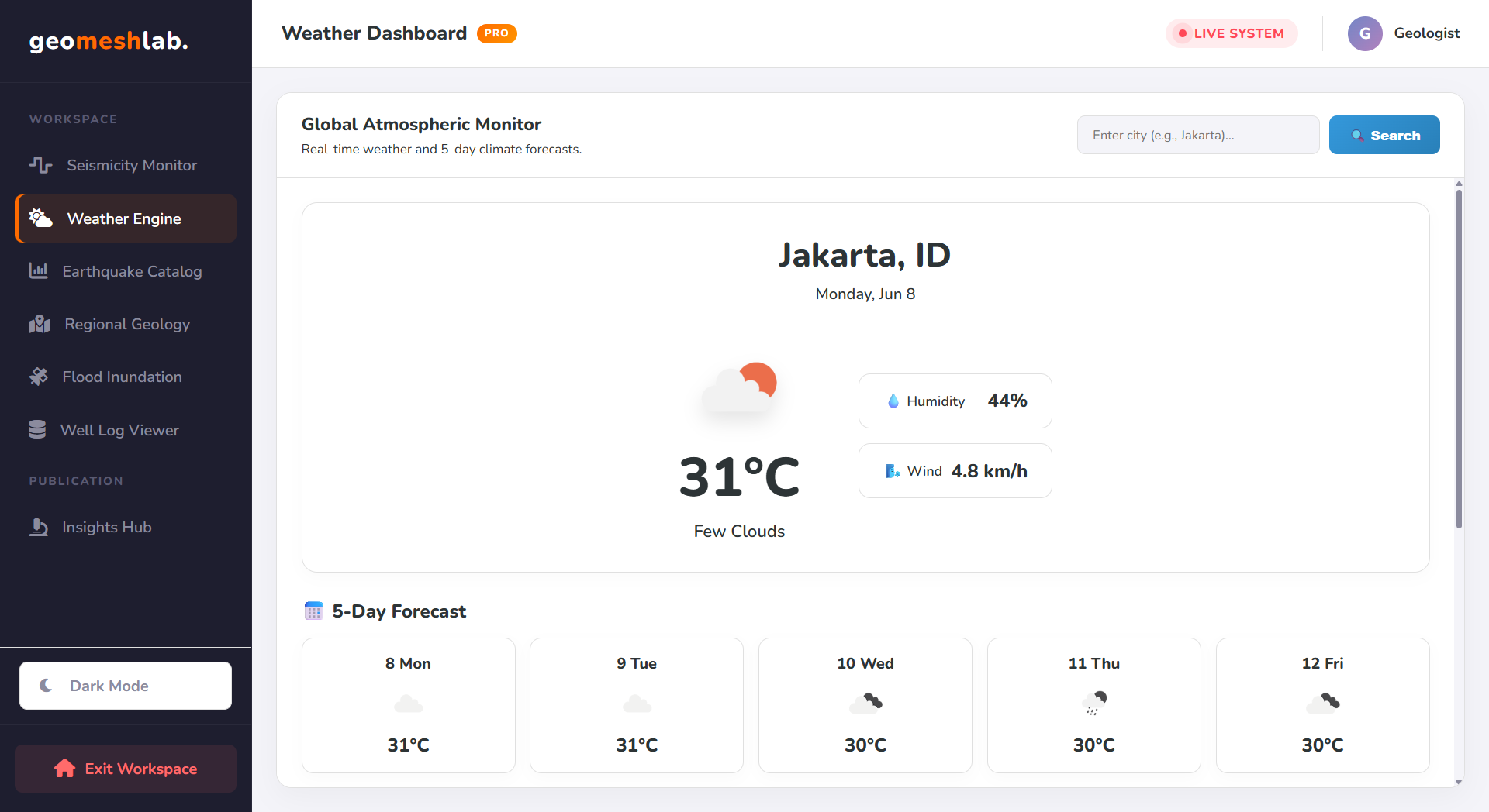
Real-time atmospheric telemetry station with 5-day climatic trend charts and live precipitation, cloud, and wind radar map overlays.
Try searching for another keyword or reset the category filter to "All Engines".